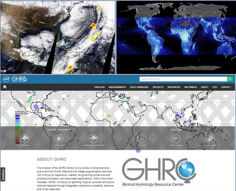
The GHRC DAAC’s Leigh Sinclair conducted a webinar titled “Striking New Spatial Bounds Using ISS LIS Data” on March 7, 2018. This webinar provided an overview of the ISS LIS Near Real-Time and Science Data, which allows for the study of lightning in hazardous weather over much of the Earth, highlighted ISS LIS lightning observations during the 2017 Atlantic Hurricane Season, and included a short demonstration on how these new ISS LIS data products can be plotted using Python. Dr. Michael Peterson, a Post-Doctoral Associate with the Earth System Science Interdisciplinary Center (ESSC) at the University of Maryland, also participated in this webinar describing how he uses these ISS LIS data. This webinar was recorded and can be found here: https://youtu.be/m83cNoaMXUw


