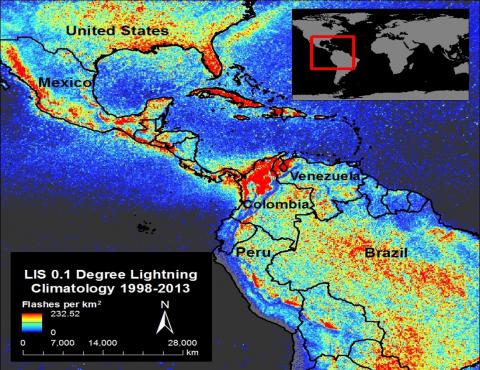
GHRC DAAC staff published a new data recipe titled "Using ArcGIS to Convert LIS Very High Resolution Gridded Lightning Climatology NetCDF Data to GeoTIFF Format". This publication gives step-by-step instructions for transforming in ArcMap the Lightning Climatology data constructed using 17-years of TRMM Lightning Imaging Sensor data. The climatology and LIS data are available at the GHRC DAAC.


